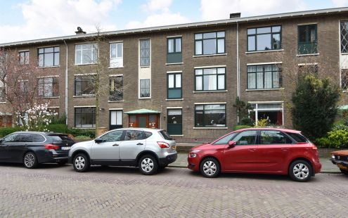
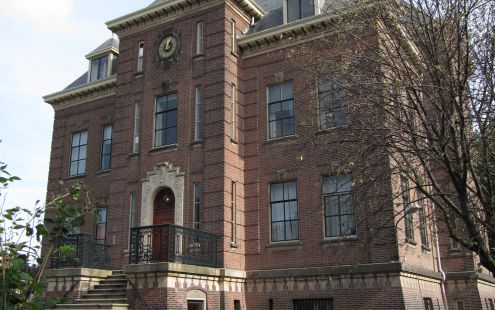
Until the end of 1942, this spot was in the middle of the area of large, upper-class houses known as Zorgvliet. It was a …
lees verderOverview for walking route
By 1943 this area was a stretch of desolate wasteland. The housing in the immediate area had been demolished and the …
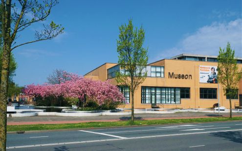
lees verderBefore the German occupation authorities began building the Atlantic Wall, the Kunstmuseum stood at the junction of …
lees verderThe Second World War produced changes in the street plan of this part of the city. Before the war, the present President …
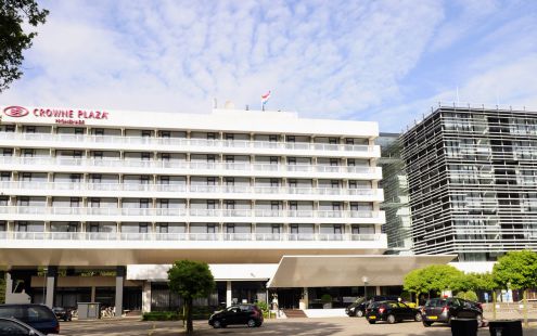
lees verderThis used to be a very busy spot in fine weather, when walkers in the Scheveningen Woods mingled with hotel guests on the …
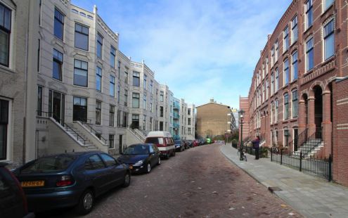
lees verderThis street is part of the Duinoord neighbourhood, developed in the late 19 th century on the initiative of banker …
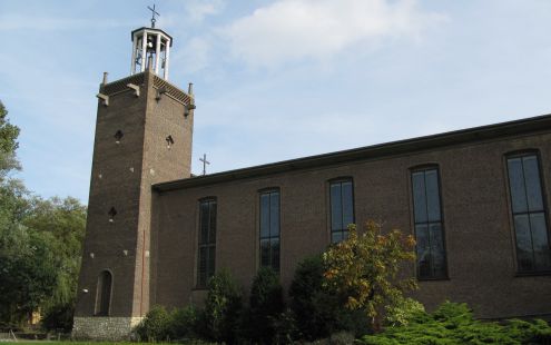
lees verderThe original Kerk van de Heilige Martelaren van Gorcum (Martyrs of Gorkum Church) was designed by architect Nicolaas …
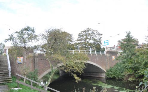
lees verderThe White Bridge
lees verderDuring World War II, a wide anti-tank ditch was constructed here as part of the Atlantic Wall. Before that, Lübeckstraat was …
lees verderThis spot is on the dividing line between the part of the Zorgvliet development that was demolished and a section that …
lees verder Herinneringsroute Atlantikwall Den Haag
